


It does not receive public funding
Editor in chief:
CLARA MOSCHINI

Do you want to access to this and other private contents?
Log in if you are a subscriber or click here to request service
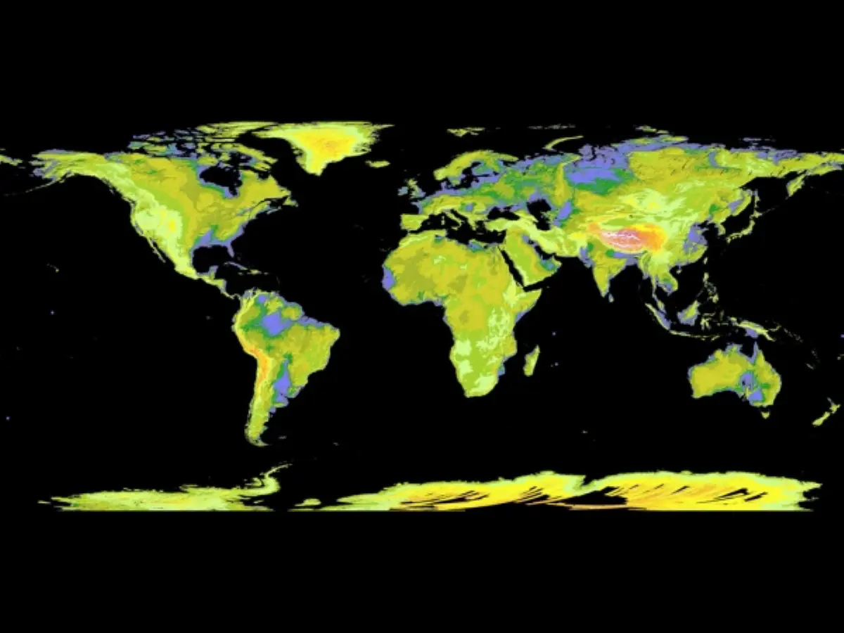
NASA and Japan released a new digital topographic map of Earth that covers more of our planet than ever before. The map was produced with detailed measurements from NASA's "Terra" spacecraft. The new global digital elevation model of Earth was created from nearly 1.3 million individual stereo-pair images collected by the Japanese Advanced Spaceborne Thermal Emission and Reflection Radiometer, or...