Do you want to access to this and other private contents?
Log in if you are a subscriber or click here to request service
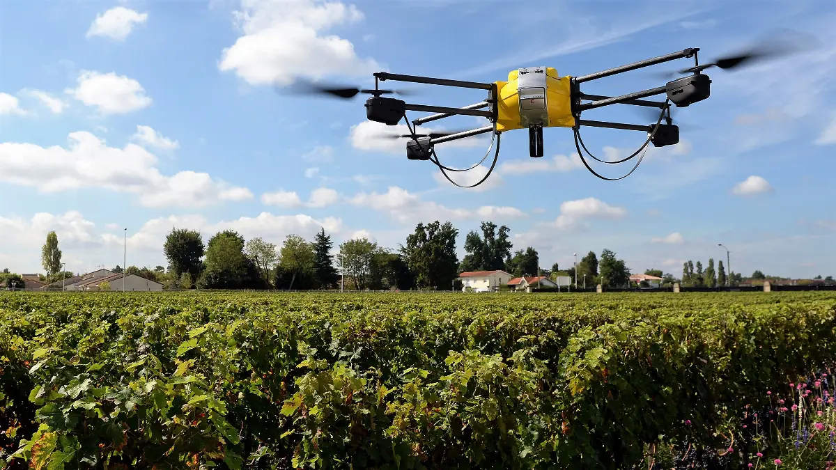
Drone aircraft for the search for missing in the mountains?
A three-dimensional map would be sent via a laser

In order to identify people dispersed in isolated and difficult places to reach or where there is no possibility for them to use satellite navigators, a solution could soon arrive from the Massachusetts Institute of Technology (MIT). Researchers at the prestigious MIT are working to allow drones (UAVs, Unmanned Aerial Vehicles) to create three-dimensional terrain maps using special lasers. In this...
M/A - 1215812
AVIONEWS - World Aeronautical Press Agency
AVIONEWS - World Aeronautical Press Agency